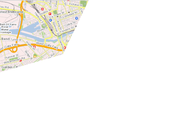
What is DataShare
DataShare is a platform to order and download data. You can configure spatial datasets in the format and area of your choosing. We then prepare your order as a package and send you a link by email when it is ready to download.
We will soon be introducing raster data to the accessible catalogue. This includes metro and regional aerial imagery and point cloud captures spanning the entire timeline of government captures. You’ll need to pay a small fee for most of these datasets due to the large data format and amount of processing we need to do.
Access spatial data
The list of data type that can be found in DataShare includes:
- • Vector
- • Grid
- • Point cloud
- • Contour
- • Text & table
About us
DataShare is managed by Victoria’s Department of Energy, Environment and Climate Action (DEECA) (www.deeca.vic.gov.au). We manage a large range of spatial data that’s used by Victorian government agencies and businesses. Visit the maps and spatial centre to access other information and services like interactive mapping tools, Vicmap viewer and property reports.
DEECA is the main custodian to most of the data found here. However, you may find different owners and custodians associated with some datasets. Please use the custodian contact details found in the description of each dataset to find out more about the data.
If you have any issues using Datashare, please contact us here.
